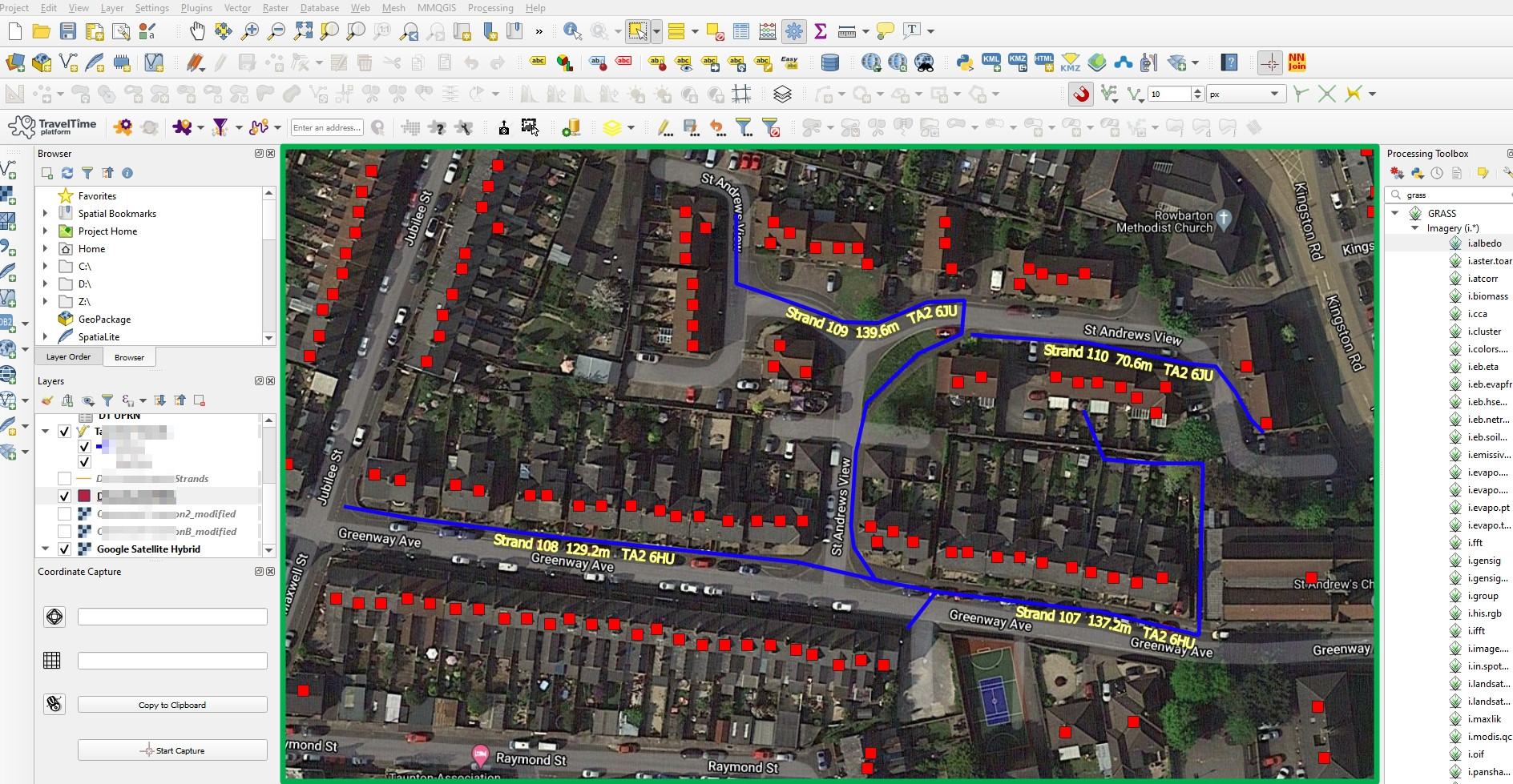
QGIS Review: Pricing, Features, and User Ratings
QGIS is a powerful and versatile open-source geospatial software that enables users to create, edit, visualize, analyze, and publish spatial data across multiple platforms. With extensive support for various data formats and an active user community, QGIS is a cost-effective solution for businesses and individuals seeking advanced geospatial capabilities.
- Open-source and free to use
- Powerful visualization and analysis tools
- Multi-platform support (Windows, macOS, Linux, BSD, and mobile devices)

Pricing
QGIS is an open-source software, making it free to use for businesses and individuals. This allows for cost-efficient management of geospatial data without the need for expensive licensing fees.
User Ratings
QGIS is highly regarded by its users for its robust features, ease of use, and extensive support for various spatial data formats. Its active community and continuous development make it a popular choice among professionals.
Features
QGIS provides a comprehensive set of tools for creating, editing, visualizing, analyzing, and publishing geospatial data. Its wide range of plugins and compatibility with various data sources make it a versatile solution for businesses and independent users alike.
Uses and Applications
With QGIS, businesses and professionals can effectively manage spatial data, create custom maps, conduct complex spatial analysis, and visualize data for better decision-making. Whether for environmental studies, urban planning, or resource management, QGIS offers the necessary tools and capabilities.
Community and Support
QGIS boasts an active and supportive community of users and developers, providing extensive documentation, tutorials, and forums. This ensures that users can access the help and resources they need to make the most of the software.


